Planetary intelligence for the real world.
GaiaGrid connects sensors, satellite communications and advanced analytics to deliver actionable intelligence from remote, challenging and disconnected environments.
Most of the planet is still operationally invisible.
Remote rivers, farms, forests, coastlines, infrastructure and industrial assets often sit beyond reliable terrestrial connectivity. Yet these are exactly the places where better data can improve resilience, reduce risk and support better decisions.
GaiaGrid helps organisations measure, connect and understand the physical world — even when there is no power, no cellular signal and no easy access.
From raw sensor data to useful intelligence.
GaiaGrid brings together the physical infrastructure, connectivity and analytical layer needed to turn remote measurements into practical operational insight.
Sense
Deploy environmental, agricultural, industrial and infrastructure sensors in the places where data is needed most.
Connect
Move low-power data from remote locations using satellite IoT and resilient communications networks.
Understand
Combine sensor data, Earth observation and analytics to support better decisions, alerts and long-term planning.
Better decisions begin with better visibility.
Climate pressure, infrastructure risk, food security and environmental change all demand better real-world data. GaiaGrid gives organisations the ability to monitor places that were previously too remote, too costly or too difficult to connect.
Intelligence for environments that are hard to reach, but essential to understand.
Agriculture & Food Security
Soil, weather, disease risk, crop conditions and remote farm monitoring.
Water & River Systems
Catchments, water quality, flooding, pollution and environmental compliance.
Oceans & Coastlines
Buoys, coastal assets, offshore sensing and marine environmental data.
Critical Infrastructure
Remote assets, utilities, pipelines, roads, bridges and distributed systems.
Environmental Resilience
Climate adaptation, conservation, land monitoring and ecological intelligence.
Remote Operations
Industrial monitoring for places where conventional networks do not reach.
Designed for real-world problems.
Early warning systems
Combine field sensors, satellite connectivity and analytics to detect emerging environmental, agricultural or infrastructure risks before they become costly failures.
Remote monitoring networks
Build long-life, low-power monitoring systems across sites that are difficult to access, expensive to service or beyond terrestrial coverage.
Integrated data platforms
Bring together sensor feeds, Earth observation, dashboards and decision tools into a single operational view.
Rapid project deployment
Move from concept to field deployment quickly, with practical system design, sensor selection, connectivity and analytics support.
Build intelligence from the physical world.
Whether you are monitoring crops, rivers, oceans, infrastructure or remote assets, GaiaGrid can help you design and deploy the sensing systems needed to see clearly and act sooner.
Talk to GaiaGridGaiaGrid Platform
Collect local weather data and benefit from global insights
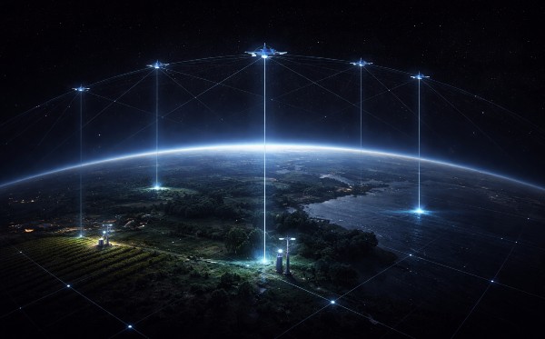
GaiaGrid Strategy
Localised data from affordable satellite connected weather stations with global reach
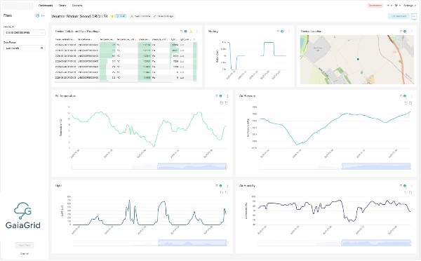
GaiaGrid Intelligence
Streamlined data analytics with applied AI intelligence and pooled agronomist expertise
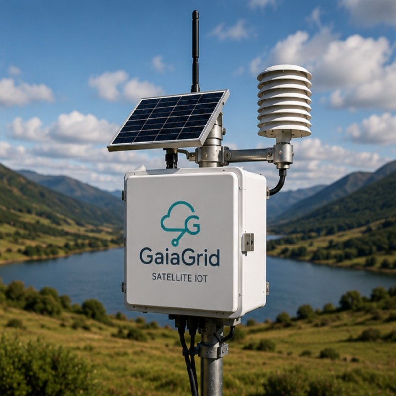
Monitoring Weather
Localised weather directly determines crop health, disease pressure, and water use, yet most farms still rely on distant regional forecasts, leaving the fine-scale, field-level weather that truly drives agricultural outcomes largely unmeasured.
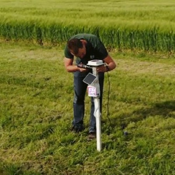
Monitoring Soil
Globally, soil underpins more than 95% of our food production, yet despite its central role in food security, water management, and climate resilience, the world’s soils remain largely unmonitored and under-digitised compared with other critical natural resource.
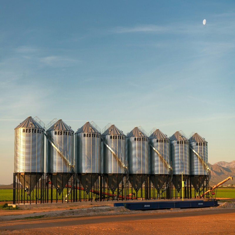
Tank Level Monitoring
Remote tank level monitoring gives farmers real-time visibility of grain silos, water tanks, fuel stores and chemical reserves – reducing waste, preventing outages, improving logistics, and enabling smarter, data-driven agricultural operations.